Click for map
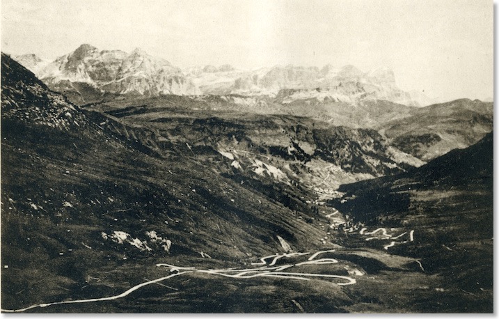
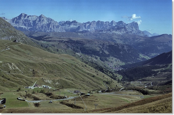
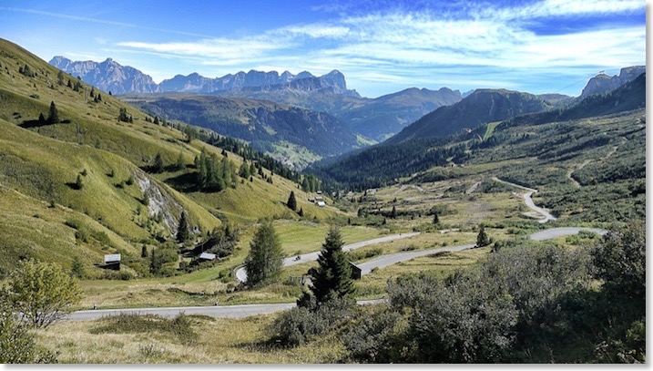
The seemingly pristine state of the Great Dolomite Road in the Zardini photograph suggests to me that this may well have been taken around the time that the Road originally opened here, in about 1909. There is too little of recognisable detail in the photo, however, to say whether the shot was definitely taken before the War or after it. I was pleased to find almost the exact same viewpoint for my own photo, taken in 2011.
The twists and turns of the route as it finds the best route across an amazingly rough area of ground are very visible, and no better route has been found since it opened. The same meanders and hairpins are still there. In a few places, the Road now passes under a tunnel where ski runs have been constructed on earth “bridges” over it. This allows the ski runs of the Sella Ronda to progress without interruption.
On the grass slope high on the left of my modern photo can be seen the round building of the Austro/German World War memorial, mentioned under Photo 15.
For the guide to the Road in the Bolzano direction, Zardini treats us to a similar view, but from a significantly different viewpoint:
It is taken quite some way further uphill, towards the head of Passo Pordoi, and was clearly shot on a day of stunningly clear weather. The backdrop still contains the full sweep of the Fanes/Lagazuoi/Tofana peaks, but we see more of the Road itself. Although the buildings beside the Road suggest this is a somewhat later shot than the shot in the other guide, I believe this possibly also to be a pre WW1 photograph. The road is in pristine condition, and there is no evidence at all of the fighting that affected this area in 1915 and 1916. This is one of my personal Zardini favourites.
In September 2013, the exact same spot was not at all difficult to find, on a day with weather much as Zardini clearly had. One of my best Zardini comparison shots, I think:
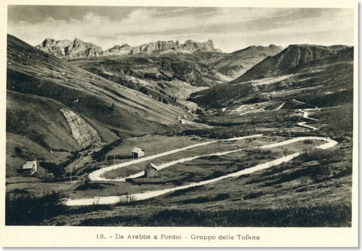
My collection of postcards also includes this, by the Franzl company of Bolzano. It is not dated or postmarked but I estimate it to be quite an early view, maybe before 1925:
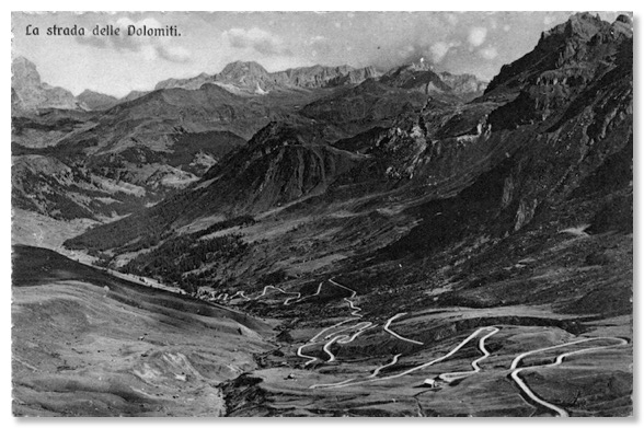
This postcard, also by Franzl, is of about the same date:
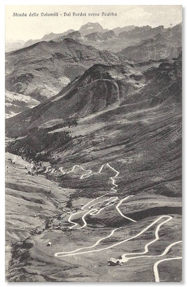
Those last two views are more to the south-east than the others on this page, which look more or less due east. From Canazei to Arabba, The Road encounters almost 80 hairpin bends. I have video of a descent of this section of the road in drizzly, misty weather and exasperating traffic in 2014, but the video shows how little of The Road here is in a straight line. See here.
This Ghedina postcard looks due south, from near Pordoi, across the sweeping bends at the top of the descent. You can see clearly how well the builders of The Road made use of the slopes:
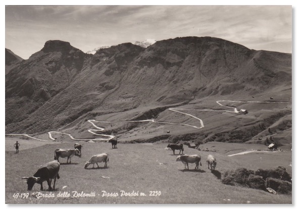
This view is on a postcard in my collection that is very clearly dated and postmarked in September 1913. It will therefore definitely be one of the earliest views of the Road hereabouts:
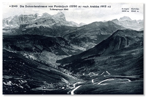
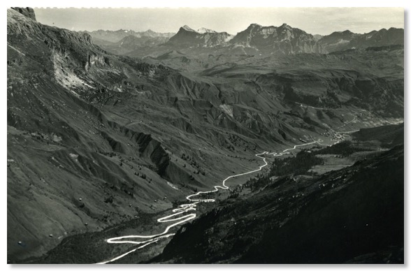
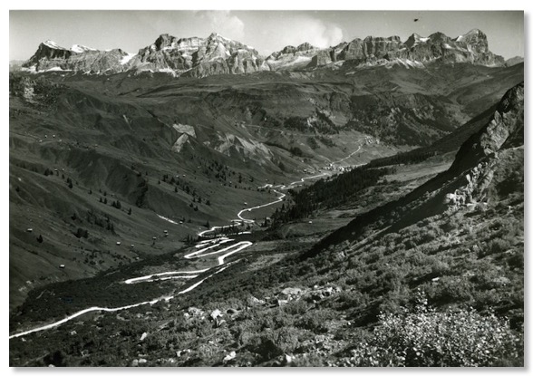
My postcard collection also contains these two similar general view eastwards, from postcards that are probably from the early 1950s:
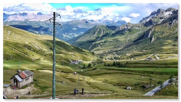
Just above the footpath from Passo Pordoi to the Fredarola Hut, here is a small chapel. This Ghedina postcard, dated and postmarked August 1963 shows it and the view east over the same stretch of the Road:
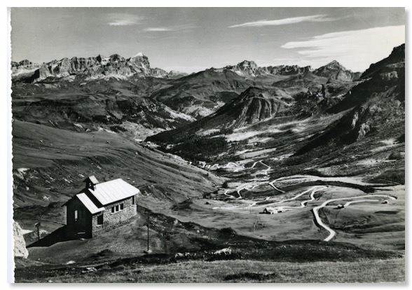
Long before 2013, the view had been marred by power lines, but aside from those, and some evidence of skiing developments, has not changed much:
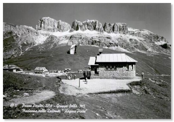
This postcard shows the same chapel and the buildings of the Pass:
