Click for map
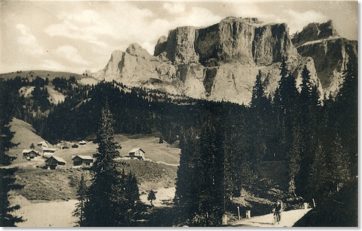
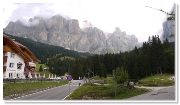
The Pian de Frataces is still marked on maps, adjacent to the popular Albergo Lupo Bianco hotel at around 1,700 metres. The smallholding across the Pordoi Pass road from the hotel still carries the Frataces name. The view (north) in the Zardini photograph is to the Sella Towers and the peak of Piz Ciavazes - some of the most popular rock climbing areas in the Dolomites for almost a century.
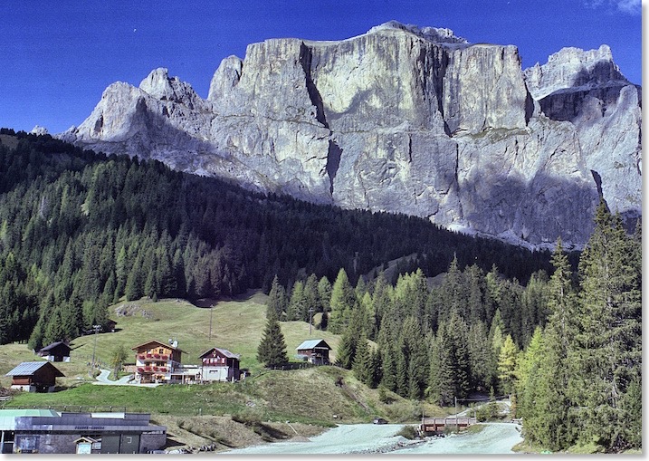
The line of the Great Dolomite Road has been altered a little along this stretch, and I could not get a viewpoint that matched the mountain view while also giving a glimpse of the Road in the right hand corner. I tried with several different lenses too. Flooding over the decades along the wide bed of the Ruf de Antermont stream is likely to have been responsible, I think.
It is interesting to see that several of the modest farm buildings sitting in the meadows to the left of the shot still remain virtually the same today as they were in about 1920, which is when I estimate the Zardini photo was taken.
This area has been popular with postcard photographers since the early days of the Road. Here is a postcard showing an early post-bus just above this same stretch of it. Annoyingly, like so many of these early cards, it carries no date and no legible postmark:
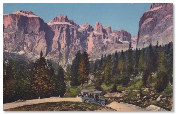
Here is another postcard view showing an early vehicle on The Road hereabouts:
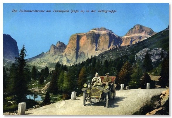
I also have this, from the same card series, but I struggle to make the backdrop fit the “Passo Pordoi” caption. It must be taken quite a lot higher up the Pass:
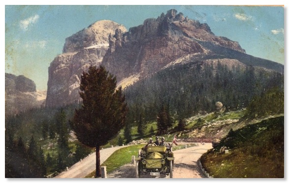
The card below is from the same series, and is hand-dated and postmarked 5 August 1926. It is interesting to see that the German language description of the view, at the top of the card, has been carefully obliterated and an Italian description stamped on to replace it. Indicative of the changes in this area in the wake of the First World War. My collection includes another example of this overprinting, on a postcard included under Photo 29:
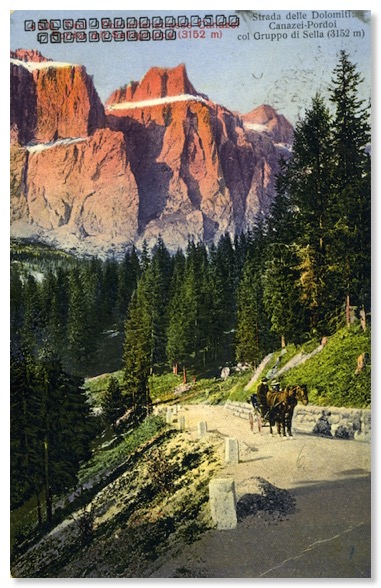
I was fortunate to find a large batch of postcards from this series in an Italian market in 2013. You will see several from the set on this web site. The earliest postcard from the same piece of road Zardini photographed in my collection, that I can date with certainty, is this one. It is hand-dated and postmarked 1 August 1927.
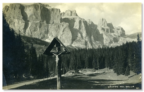
I also have this, postmarked 1953:
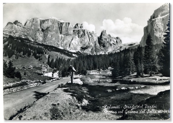
My browsing of Italian flea-markets also threw up these photos, by Ghedina of Cortina. The first is hand-dated August 1955. The viewpoint is very similar indeed to that used by Zardini:
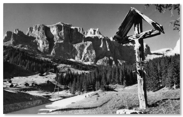
And there is this, dated and postmarked 1958:
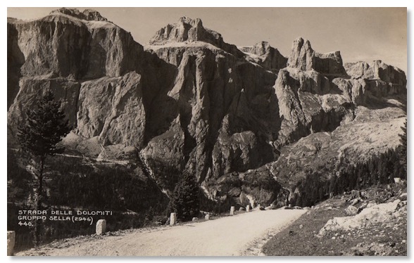
Ten years later, on a card postmarked 1968, we see the same spot, at the height of Italian family motoring holidays in the Dolomites:
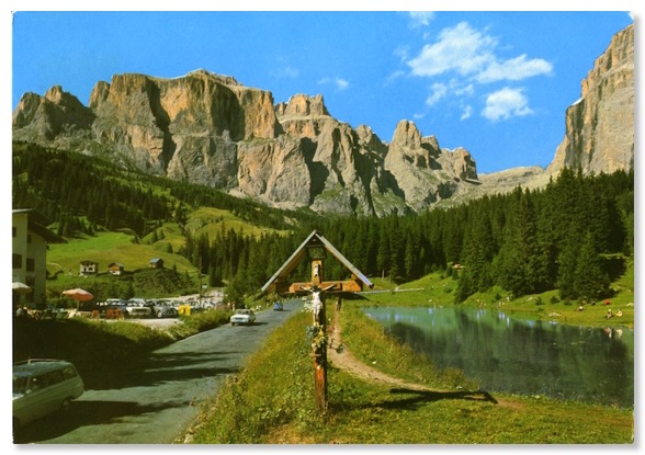
When I visited in September 2013, this stretch of the Road looked like this:
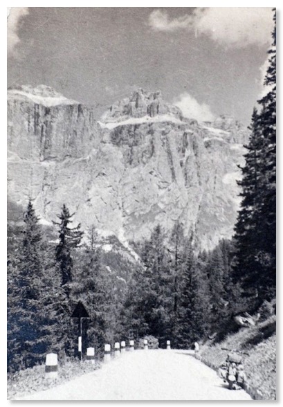
In the selection of photographs for the guide to the Road for travellers heading towards Bolzano, Zardini chose a slightly different view of this area:
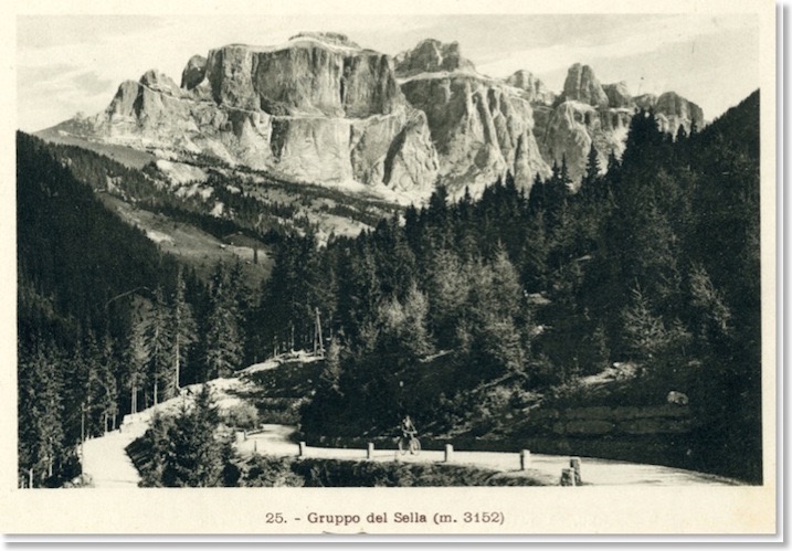
The backdrop of the Sella Plateau and its many rock faces is basically the same, though slightly more extensive. There seems to be slightly more snow in the shot, suggesting a visit on a different occasion. Perhaps the same cyclist, though? Even today, these are tough roads to cycle! They still feature regularly in the annual Giro d’Italia race.
While driving these roads for my 2013 researches, I passed this spot several times. It’s just before Frataces:
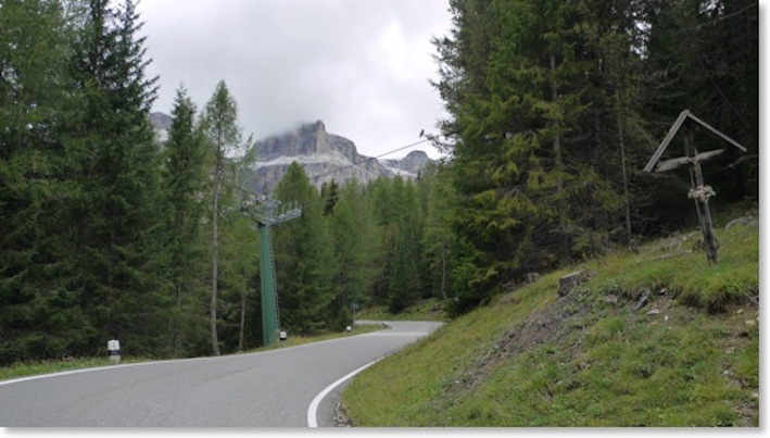
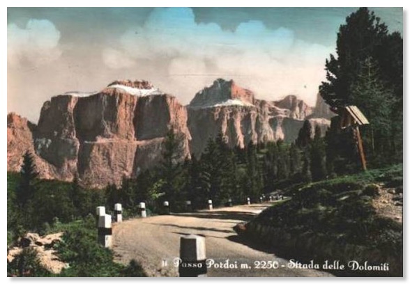
I later realised that it is probably the same bend as photographed for this 1930’s postcard:
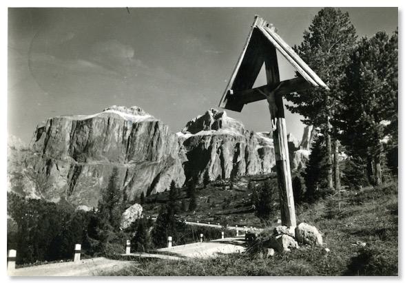
And this one, of a similar age:
Somewhere very near here, in the summer of 1938, Tom Barnes (see my Home page) stopped his motorbike and took this photo:
