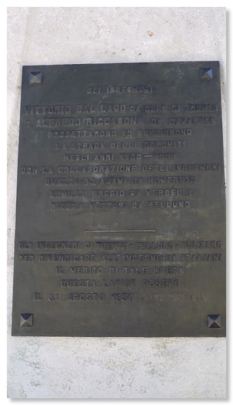
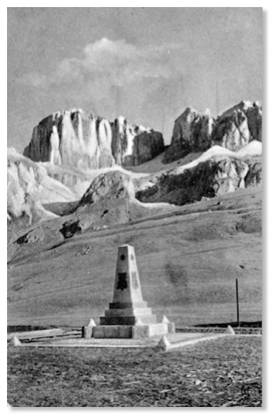
Over the past 35 years, I must have visited the Pordoi Pass dozens of times. Before starting this project, I had always believed the white concrete obelisk which stands just behind the Albergo Savoia to be “just another Dolomites WWI memorial”, though I had never looked closely at it. It was therefore heart-warming to find that, instead, it is a memorial to the engineers who oversaw the construction of the Great Dolomite Road! The current plaque on it (photo above) dates from the 1930s, but I believe Zardini’s photo of the monument to be earlier than that. Note that the earlier plaques (plural - today there is only one) are decorative in shape and seem to cover most sides of the obelisk. They have gone. It is hard to tell, but there may still be one on the face of the obelisk looking towards the camera in Zardini’s photograph above, but there is not one on the right hand face, as viewed. Compare that with this shot, found while flea-market browsing in Florence. It looks 1920s, but sadly carries no date, and clearly has the decorative plaques in situ.
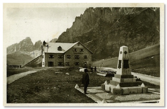
By the late 1920s/early 1930’s the plaques had apparently all gone. Perhaps they were removed and melted down in WW1, when this was close to the Austro-Italian front line? This postcard is date-stamped 21 August 1932 and shows a denuded obelisk, plus the WW1 graveyard of Photo 16:
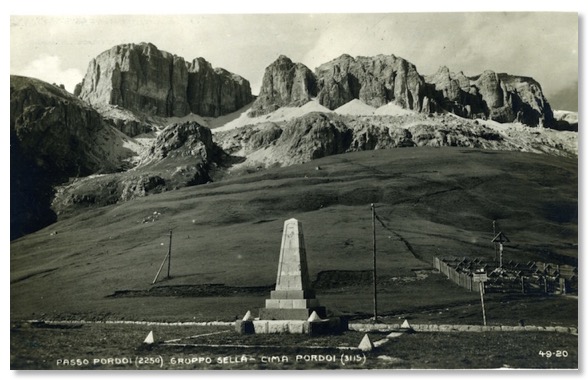
The next view is from a postcard I estimate to have been taken just a very few years later. Its stamp and postmark have been removed:
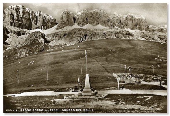
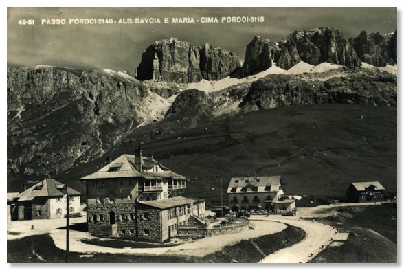
The obelisk is also visible in this early shot of the building then known as the Christomannoshaus, and other summit buildings:
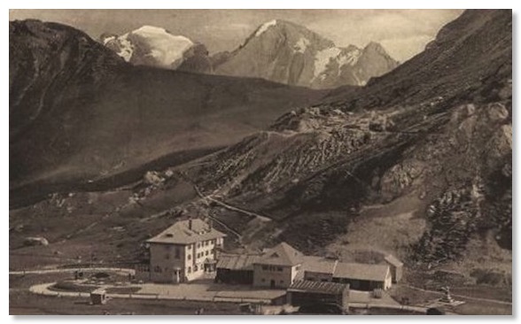
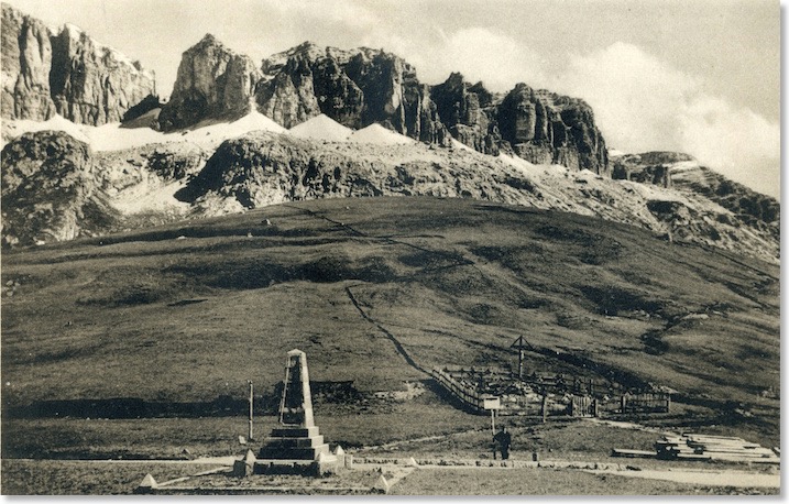
The view in Zardini’s photo at the top of this web page, and which appears in both guides to the Road, is towards the cliffs and screes that mark the southern edge of the Sella Plateau. Beneath the screes, grassy slopes run steeply down to the Road. Today, car and coach parks and a few shabby buildings clutter the same view. Zardini’s photo clearly shows the small WW1 cemetery beside the road. This dates the photo to maybe just a couple of years after hostilities ended in this part of the world, in 1917-18. The poles also visible beside the road may subsequently have carried the electricity and telephone lines across the Pass, as seen in some of the other postcard views above.
I am sure that, by the 1950s, bodies in the makeshift graveyard would have been disinterred for burial elsewhere. There is precious little soil in this area, and any original graves would have been shallow. About 2 kilometres away is a memorial to more than 8,000 German troops killed in both World Wars (there was fighting here in WW2 as well), but I believe this was not erected until the 1950s. Certainly, in this 1950s Ghedina postcard, the graves have gone. See more under Photo 16 about this:
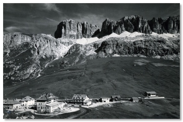
Looking at the postcard above ith a magnifying lens, the crucifix standing alone can be seen just below the “C” shaped enclosure towards the bottom left of the postcard itself. Rather hard to see on this scanned copy. The cars in the photo would date this shot to the 1960s. The obelisk is just out of view.
My post-card hunting in 2013 found me this shot:
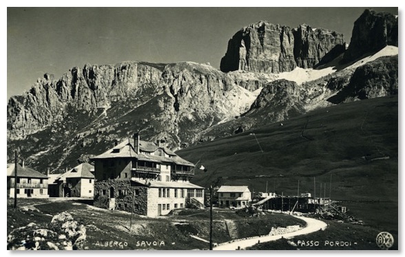
The “AZ” monogram in the bottom right hand corner identifies this as a genuine Zardini postcard, one of only few I have found so far. It is helpfully also very clearly date-stamped on the back for 19 August 1923 at the Albergo Savoia. This is the large building in the picture. Prior to the First World War, the building was called the “Christomannoshaus”. See Photo 12 for more about this.
The Albergo Maria had been completed by the time that this photograph was taken, in the later 1920s:
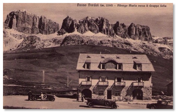
This next card shows the same buildings, from just below the top of the pass, looking back. It was dated by the sender in 1952:
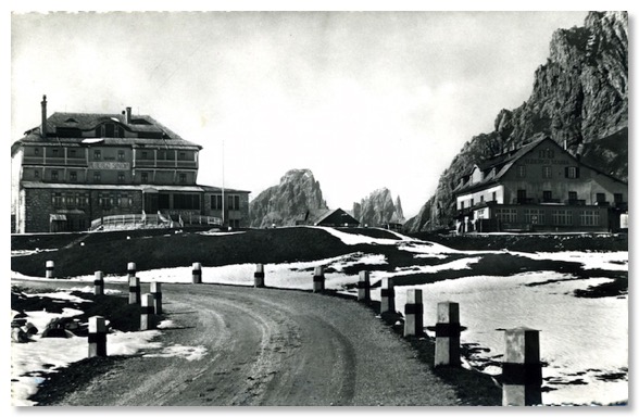
Zardini also returned when the other building work was completed. The postcard lacks the monogram, but is identified in the printing on the reverse as being from Zardini’s (clearly rather later) work:
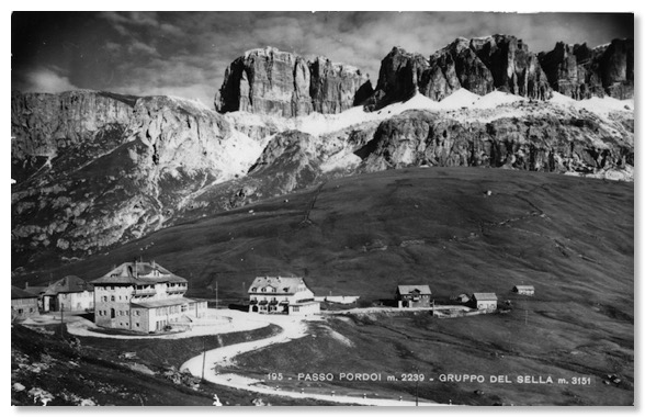
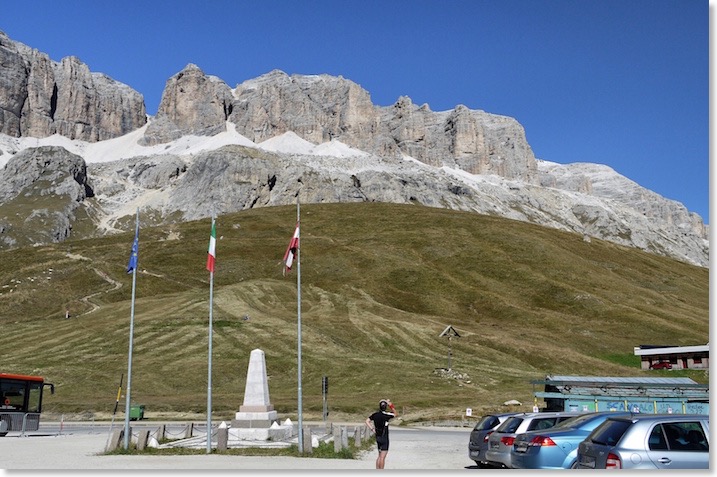
I have a modern view of very much the same scene from my own visit in 2011. This is a complete coincidence, because I had not, at that time, seen the black and white postcard it matches. It shows that Zardini and others shot their views from what are still today very much the obvious best local viewpoints:
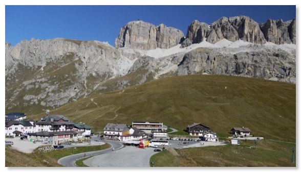
Ghedina of Cortina also photographed similar views of this area in or around 1936:
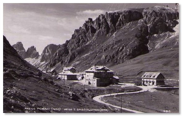
And again in 1955:
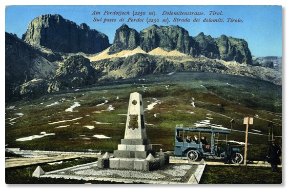
The popularity of the top of Passo Pordoi to early 20th Century Dolomites tourists is clear from the range of postcards available from early in the life of the Road. Here is one from very early on that I obtained from eBay, showing the obelisk and the Sass Pordoi and Sella cliffs above the pass. From what I had at the time, it was impossible to date with certainty, and the postcard itself contained no clue, but the neat grass slopes behind suggested to me that this may actually be a pre-WW1 photograph. This was subsequently confirmed when I saw another copy of the card on sale in an on-line auction. That copy was postmarked and hand-dated by the sender in July 1910. More evidence that collecting and researching postcards of the Road is providing valuable information for this web site!
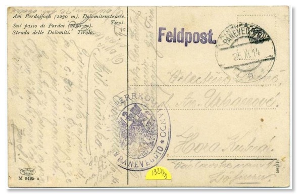
I also have this next postcard in my collection. It is hand-coloured and my own copy is undated, but I found an auction site selling another copy with the reverse, reproduced below, written by someone I assume to have been a soldier. That card is dated for November 1914. The card is not written in German or Italian and I assume the language is Serbo-Croat, which was common amongst the many thousands of Balkan soldiers fighting against the Italian forces. The overprinting clearly identifies it as coming from a member of the Austro-Hungarian troops who were busy fortifying this area in the early months after the declaration of WW1, and just before the fighting in this area began, in 1915. The Pordoi Pass itself was five or six miles inside the Austro-Hungarian border prior to the War. Panneveggio, mentioned in the Postmark, is also in what was Austro-Hungary, and is about ten miles south of Pordoi.
